• Home
  • Software
  • Basic features
  • Products
  • Buy
  • Web Service
  • Geocoding
  • Support
  • About us
  • Contacts
Road Control

Basic features

ROAD CONTROL / ROAD CONTROL ENTERPRISE


Basic features

  • Depot (warehouse) settings – depot working time.
  • Multidepot – scheduling from multiple warehouses is supported.
  • Input - import from CSV or XLS format.
  • Place (destination) settings – up to two time windows, capacities, service times...
  • Vehicle settings – fixed cost, cost per km, capacities (up to 4 types), working time..
  • Vehicle type selection – while calculating, the scheduling takes account of the selected vehicle profile and the restrictions that apply in the road network (such as for vehicles up to 7.5 tonnes).
  • Cargo features selection – while calculating, the scheduling takes account of the selected cargo type and the restrictions that apply in the road network (such as for flammable substances, corrosives, goods potentially harmful to water sources, …).
  • Multiselect – batch parameter changes of places and vehicles are supported as well as check-box for selection.
  • Extended View mode in the Places tab.
  • Search in places and search in vehicles.
  • Quick access to edit place features from the map window.
  • Dispatch Advisor* – intelligent adding new destinations to an existing schedule, suggests a time window.*
  • Minimized costs to serve all the delivery places.
  • Distance Matrix (DIMA) cache available – accelerates the repeated calculations. *
  • Assigning the places (destination) to individual paths and sorting them.
  • Assigning the vehicles to the paths.
  • If there are not enough resources (vehicles) a virtual vehicle is assigned with the plan of delivery points.
  • Marking the places that are not covered.
  • Fixation of places (destinations) in the final result of the scheduling.*
  • Schedule is shown with costs, km, arrival and departure times, scheduled break times and waiting times.
  • View button (to open HTML Road Control schedule).
  • Saving the Schedule as a *.rml file (XML format).
  • Exporting the Schedule to HTML or TXT form.
  • Exporting the individual scheduled paths for a detailed itinerary calculation in the Routing panel.* Database interface for retrieving data from the IS.*
  • Map layers and new "Road map" layer.

Places

  • A place (destination) is the location of a client, a service intervention or a delivery point.
  • Address geocoding included in the remote calculation.
  • Number of the place time windows (up to 2 time windows of different length).
  • Place priority (Top/Normal).
  • Position and length of a time window (windows) shown on the timeline.
  • Service time at the place (service time, loading and unloading times).
  • Demand – setting the required capacity (volume) for an individual place – up to 4 parameters of capacity (volume, weight, pieces, litres).
  • Place location – from the map, from address search.
  • Possibility to edit or batch change the place features (multiselect).
  • Enabled and disabled features (such as forced assignment of a specific vehicle to a specific place).
  • Information on the total number of places, search according to place name.

Vehicles

  • Profile of the vehicles in your fleet (such as vehicles up to 7.5 tonnes).
  • Heterogeneous fleet.
  • Setting and restricting the vehicle capacity (up to 4 parameters of capacity – volume, weight, pieces, litres).
  • Setting (restricting) the number of vehicles with identical settings.
  • Vehicle priority (Top/Normal/Low).
  • Vehicle colours and Route colours on the map.
  • Fixed costs associated with vehicle use.
  • Vehicle speed changes (+– 20% range) to the Vehicle Profile default settings.
  • Variable costs (per 1 km).
  • Optional return to the depot (scheduling ends at the last stop).
  • Possibility to set the time of driving and the required break time during daytime driving (the possibility to select the driver will take the break at the served place).
  • Vehicle working time (may be determined by the depot time window, by setting fixed working time of the vehicle or by floating working time of specific duration).
  • Definition of special vehicle features (may be used for ex. to fix the assignment of a vehicle to specific places).
* Available in the product Road Control Enterprise

Picture

Road Control technology includes

  • Desktop Application
  • The NaviGate map subsystem
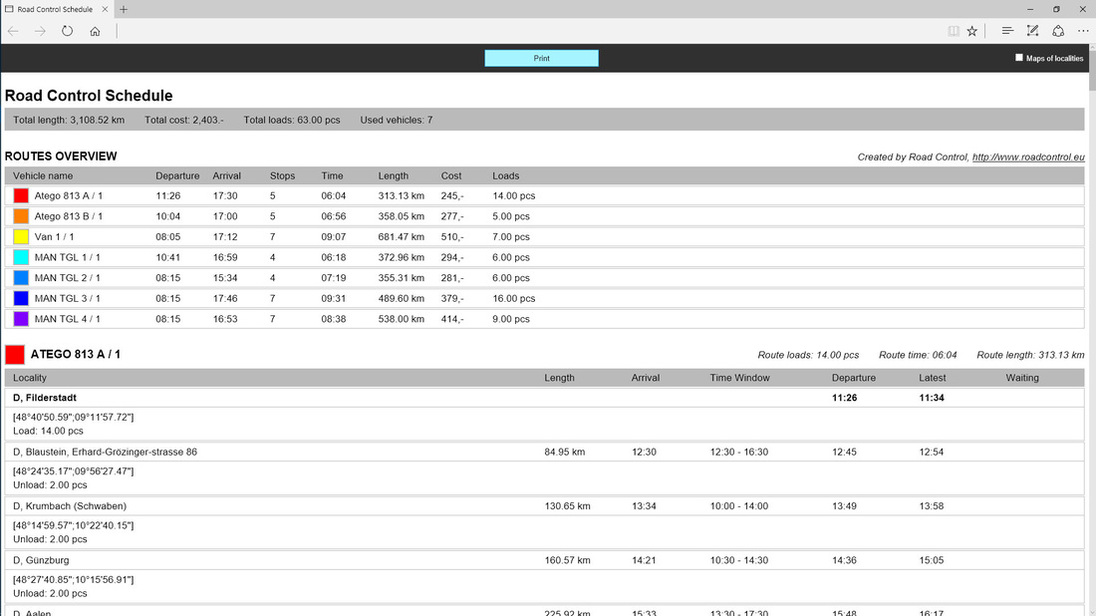
  • Planning (scheduling)
  • Functions for working with addresses, search, geocoding and reverse geocoding (the "What's here?" function)
  • Truck routing support including the vehicle features (requires data with "truck routing support")
  • Route searching (routing) that takes account of the vehicle type and its cargo
  • Arrival times are shown – Isochrones
  • Distance Matrix calculation for road network according to vehicle type
  • Calculation in the cloud option
  • Web service for an easy integration with your IS
  • Planning for the whole of Europe or for a selected country
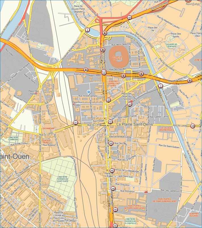
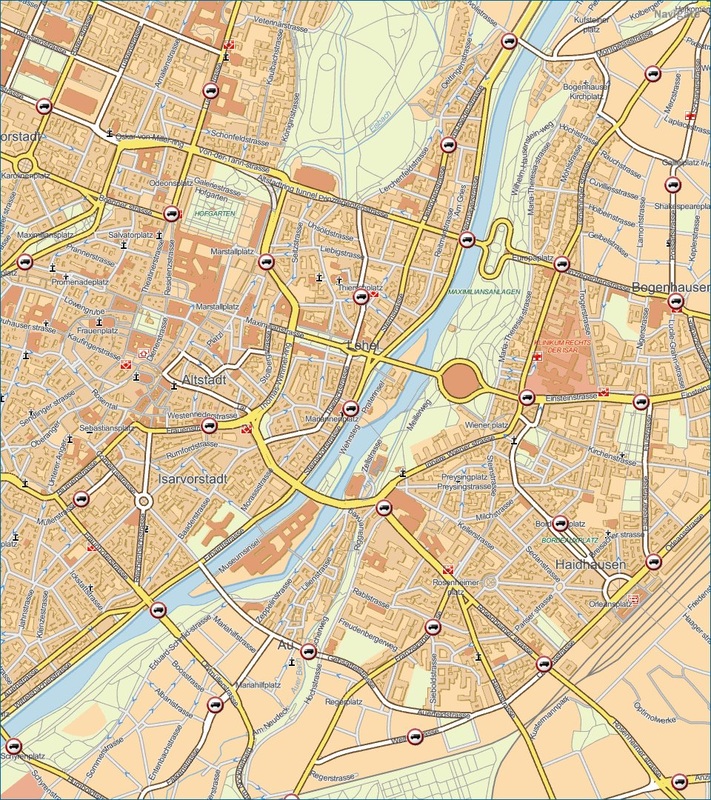
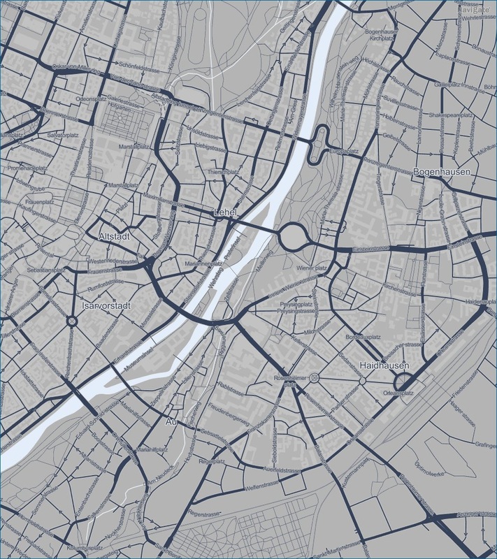
HERE data and maps
Position s.r.o. features as one of the main partners of HERE Company (formerly known as Navteq) to use and sell HERE data in Central Europe. We provide advice on the data and we offer know-how.
We process HERE source data using them in Road Control and in the other data visualisation applications our company develops. These include applications based on route searching and localisation services. We also provide our own map and search services for this data covering Europe and Latin America.

PRODUCTS AND SERVICES


Road Control
Road Control Enterprise
Road Control Web Service

ABOUT COMPANY


Position s.r.o.
References
Contacts

SUPPORT


Customer Support
Licensing Terms
Privacy Policy
Copyright © 2020 Position s.r.o. | Londýnská 45/665, Praha 2, 120 00 Czech Republic | sales@roadcontrol.cz ; tel: +420 737 650 250 | support@roadcontrol.cz